

It is when you see the whole picture that you can better understand how to analyze the details.
MARKINVENTERING - Orthophoto

Written by Fredrik Stjernfelt
Soil inventory and orthophotos
Aerial photography is great, but if you want a detailed view of your land, property or other geographical objects, drones are unbeatable.
We can quickly and easily scan large areas with film or map large areas in extreme detail. The example image is an area of 300 x 190 meters and taken with 112 images.
In forest inventory, the drone is placed a few meters above the highest point of the area in question and then a series of overlapping images are taken and merged into one large photograph. Now you can choose to zoom in on the details and see areas that may have been attacked by splinters or if you want to inventory the number of fallen trees after storms.
Contact us today and we will tell you more
Related Articles
Related
Unboxing
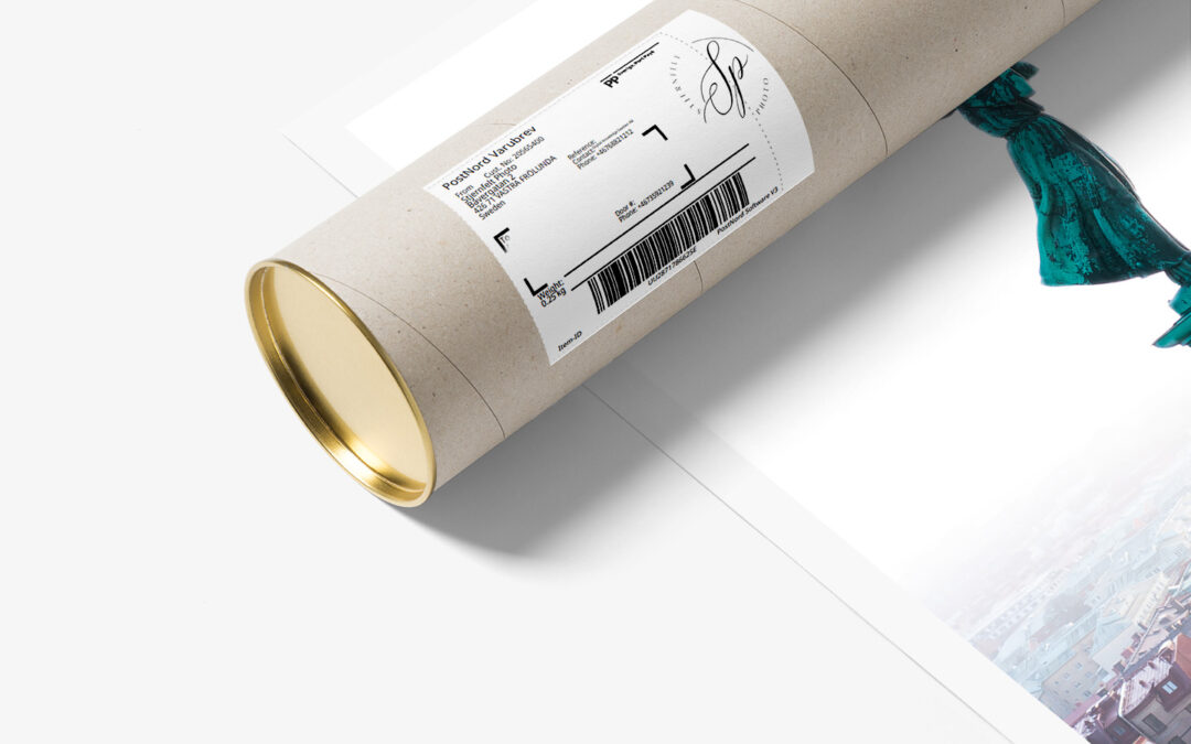
Unboxing or simply opening the package When you receive a print from me in a tube package, keep in mind that the motif must be placed under some kind of press otherwise there is a risk that the motif will be framed even if you use passepartout. The easiest way is to take and ...
Photo expedition - South Africa
Photo trip to South Africa In the winter of 2023/2024 I will go down to South Africa to take pictures both in the north in the Madikwe nature reserve and then a trip down to Cape Town. My goal is to capture both the beautiful wildlife on the savannah and the more marine wildlife ...
Exhibiting at Konstkuppen
400/031 is an art exhibition exhibiting 400 art depictions of Gothenburg over four weekends in June. It is part of the celebration of the city's 400th anniversary. See here. I contribute this year with the motif Guldkrona. The motif is taken on the Skansen crown and is a black and white photo...


0 comments